

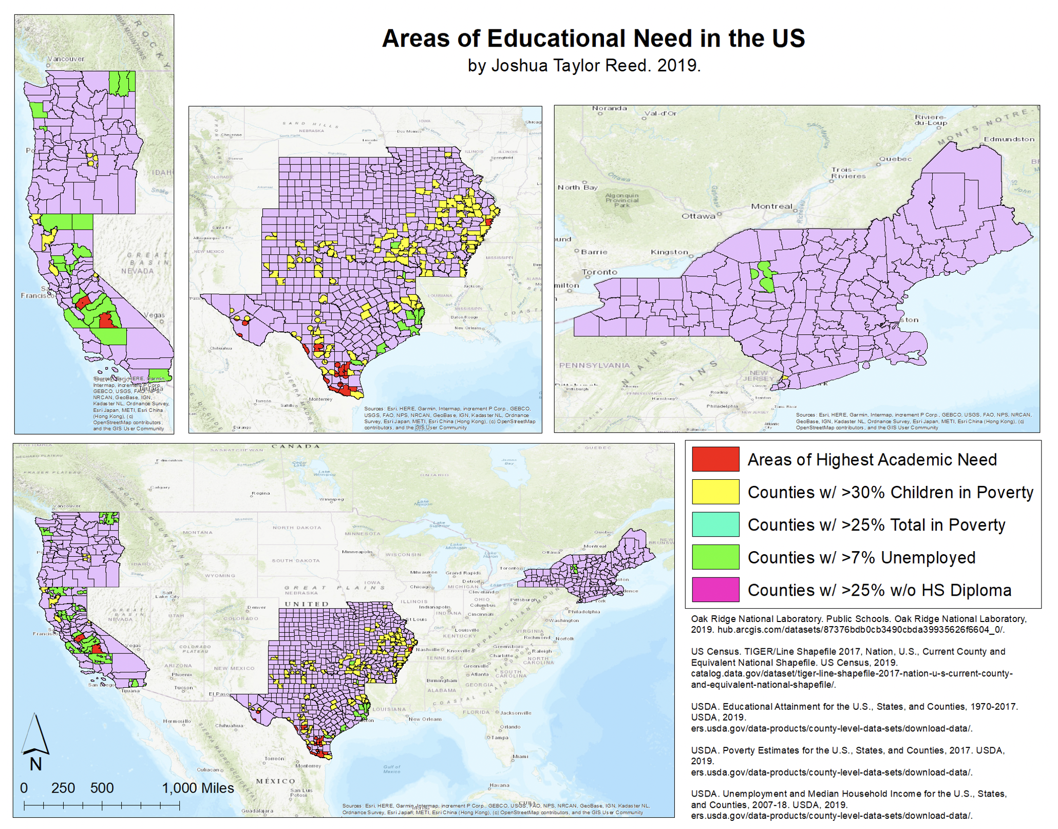
In the Introduction to GIS course at Wesleyan University, taught by Kim Diver, 15 students applied GIS concepts to tackle local environmental issues. One notable project by Joshua Reed ’21 examined “The Relationship Between Education and Poverty in the US” using governmental data, revealing striking disparities in poverty levels across different U.S. regions. Meanwhile, Cole Reistrup ’21 and peers collaborated with the Blue Ridge Watershed Coalition to analyze pollution in the Shenandoah River, leveraging GIS software to visualize water quality data. Other projects included mapping invasive species and analyzing crime rates in Middletown. On Dec. 5, students presented their findings to community partners, highlighting the importance of GIS in addressing social and environmental challenges.
